Seas are rising around the globe because the earth is warming. There are two contributing factors to this rise: sea water expands as it warms; and ice sheets and glaciers are melting into the ocean. This is a good primer on sea level rise.
For the past 25 years the seas have not only been rising, but the rate of that rise is increasing. According to the Intergovernmental Panel on Climate Change (IPCC), global mean sea level is rising at an accelerating rate. By 2100, the seas could rise anywhere between 0.43 meters (17 inches) and 0.84 m (2.8 feet) relative to 2005 depending on what actions we take to curb emissions. Beyond 2100, sea level will continue to rise for centuries due to the ocean continuing to absorb heat.
In the U.S. sea level along the contiguous coastline is expected to rise as much over the next 30 years (0.25–0.30 meters between 2020–2050) as it has over the last 100 years (1920–2020).
Glacier and ice sheets melting are now the dominant source of sea level rise. In fact Ice loss from the Greenland ice sheet alone is one of the largest sources of sea level rise. Scientists now say that the collapse of the Greenland ice sheet has reached a tipping point. This means that there is nothing we can do to stop the melting even if we stop putting CO2 into the atmosphere. A recent study analyzing current warming rather than using computer models, predicts the world is already committed to a 10 inch sea level rise from the melting of Greenland’s ice sheet.
As glaciers melt, millions of people could lose their source of fresh water.
Satellites measure sea level rise from space. Here you can see a visualization of sea level rise measurements over a 25-year period.
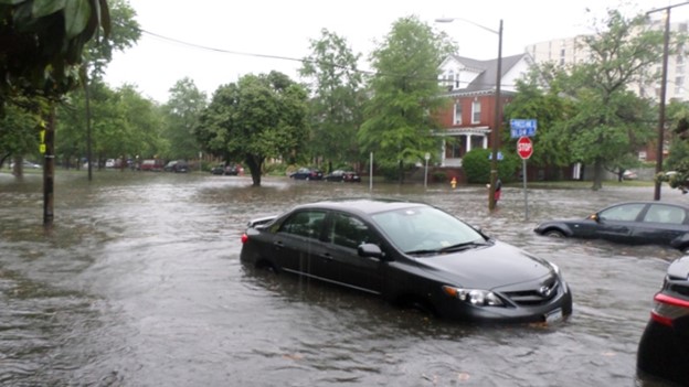
Within three decades rising sea levels could push chronic floods higher on land currently home to 300 million people. So many big cities along the U.S. coasts are low-lying—something we don’t think about except when storms hit. With more intense storms, coastal flooding will increase especially in low-lying places like New York City and the Gulf Coast. If you live on the U.S. coast, you can find a place near you to see how much the sea will rise. If you’re not near the coast, you can find a place of interest anywhere in the world.
Climate is, of course, causing sea levels to rise around the globe. Low-lying Pacific islands are especially vulnerable as they can be just a few feet above the ocean. People on one island nation, Kiribati, say the ocean is coming for them and they wonder if they can move to Australia as climate refugees.
Bangladesh is one of the most climate vulnerable countries in the world because it’s low-lying— nine meters (29 feet) above sea level with two-thirds of the country less than 15 feet above sea level. It’s also in the path of tropical cyclones. And intruding seawater threatens water for drinking and crops. The country is the quintessential example of climate injustice: “As a country, Bangladesh emits only a fraction of the greenhouse gas emissions causing climate change. Perhaps more telling, the average person in Bangladesh emits 0.5 metric tons of CO2 per year. In the U.S., for comparison, that number is 15.2 metric tons per person — about 30 times as much. “
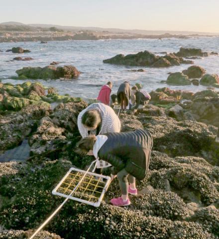
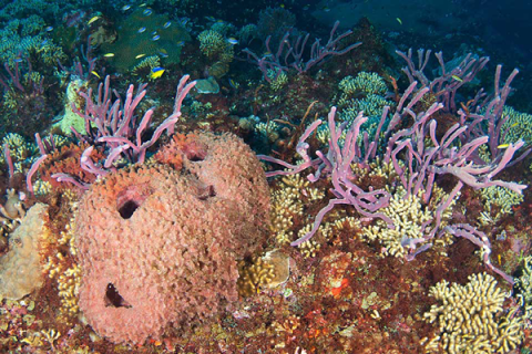
Not only is sea level rise threatening people, but it is altering the habitats that provide coastal protection. Forests are already dying because of rising seas in places on the east coast.